top of page
Drone Services & Data Capture
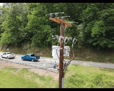
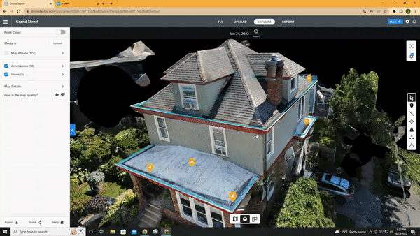
TreSol aids the industry by obtaining and processing large quantities of data in a quick and effective way. Data and aerial imagery can be a great asset to project managers to get a real-time perspective of the project and to provide to their customers. Our aerial mapping and photogrammetry software can deliver a plan orthomosaic and 3D Models, for our clients to properly analyze their project or asset.
Get a Free Quote or Demo
We'd love to work together! Please just fill out the information below with a brief description of the work you need and we will get back to you in a timely manner.
bottom of page